
Tallman's Green River Page
Note: This page was retreived from the Internet Archive. it was originally posted at http://www.jeff.tallman.com/green.html
I have reposted this page for the benefit of anyone else who would like to see the information that Jeff provided. This page was referenced on the American Whitewater and Chris Bell's BoatingBeta websites
For the paddler there are 3 main sections
to this river:
Upper Green: Class 3 & class 4
The Narrows: Class 5+
Lower Green: Class 1 & class 2.
~ "Upper" Green River ~
(Aka: Section 2)
|
Call:
|
Min. Level
|
Good Level
|
Max. Level
|
Difficulty
|
1-800-829-5253
1-4-2: today's flow
1-4-1: lake level
Today's flow is updated daily
at 8 a.m.
When Lake Summit is above
98.3 feet
Duke Power is likely to be
releasing water.
|
1 turbine
at 100%
|
1 turbine
at 100%
|
2 turbines
at 100%
|
Class 3
plus
2 Class 4's
|
GETTING THERE:
* MEETING SPOT: Meet at the McDonald's/convenience
store/gas station at I-26 Exit 22 Upward Road.
* TAKE-OUT: From McDonalds take
Upward Road east about 3 miles, turn right on Big Hungry Road. Go
left at the first fork, then turn right at the subdivision sign.
Keep going down that dirt road about .75 miles. See the "hunters
parking" sign? Park there. You can also park in the pasture
across the street by paying $5 in the box on the guy's fence. (I
am NOT making this up.)
* PUT-IN: Go back to I-26 and go south.
Take the first exit. Get on Hwy 176 going back toward Saluda.
Turn left onto Pot Shoals Road and take this dirt road down to just below
the power station.
PADDLING THE UPPER GREEN:
(Photos are from mid-October
1999.)
* I've only paddled this section with level
being 1 turbine at 100%... this is level is PERFECT.
* Distance is about 3 or 4 miles, average
time with sightseeing, scouting & snack break is about 3.5 hours.
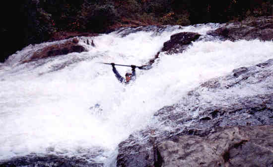
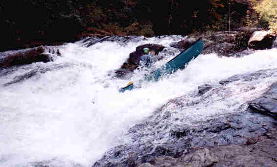
* The first class 4 is "Bayless'
Boof" (above) it is about 1 mile from the put-in. You
can hear it well before you see it. As soon as you hear the roar
of the rapid, get out on the trail (river left) and scout around the bend!
In the center of this rapid there is a dangerous washing machine hole which
is to be avoided. Run left of center and shoot off the tongue of
water to boof.
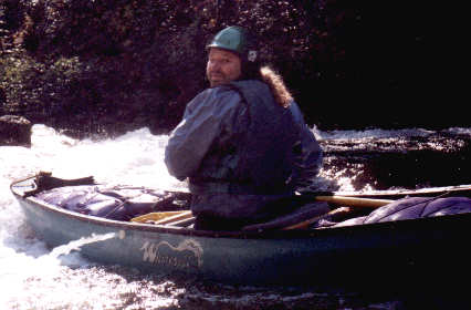
Check out the electric bailing
system Pat built for his canoe.
* About .2 mile below Bayless Boof is a little
class 2/class 3 hole called "Three Stooges."
Watch out for this! It can grab you & flip you & hold you.
Run this all the way against the rock on the right shore. The last
three times I've run this I flipped.
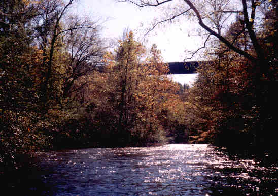
* About 1.2 miles downstream see the I-26
bridge towering 200+ feet overhead.
* About .75 miles downstream is the second
class 4: "Pinball" rapid. Get out on the island
on the right to scout. This rapid has a top half and a bottom half.
Run the top half heading toward the left bank and run the bottom half right
against the left bank. There's a hidden rock, so if you stay in the
center of the bottom part of the rapid, there's a possibility of being
decapitated.
* The take-out is really hard to see.
About .75 - 1 mile past pinball, look for a 6" diameter black plastic pipe
sticking out of the left bank. A few yards further is the take-out
on the left. If you pass Big Hungry Creek on the left, you've gone
too far. This can be bad, because just downstream is the class 5
"narrows" and there isn't a way to carry out once you're in the narrows.
* We joke that this section is class 3/class
4 with a class 5 take-out. Brace yourself: It's a pretty stout
carry out! It's about .75 mile... uphill.
~ "The Narrows" ~
(AKA: Section 3)
!!!Warning!!! Class 5 whitewater!
Experts only! I have never personally seen The Narrows... too dangerous
for my skill level. See Leland's
Green River Page for photos and even a video clip of someone running
Gorilla Falls-- Great site, lots of info and amazing photos.
~ "Lower" Green River ~
(AKA: Section 4)
|
Call:
|
Min. Level
|
Good Level
|
Max. Level
|
Difficulty
|
1-800-829-5253
1-4-2: today's flow
1-4-1: lake level
Today's flow is updated daily
at 8 a.m.
When Lake Summit is above
98.3 feet
Duke Power is likely to be
releasing water.
|
1 turbine
at 60%
|
1 turbine
at 100%
|
2 turbines
at 100%
|
Moving flatwater,
Class 1 & 2
|
* Before running this section, you'll need
to do some math. Call the phone number above to see what today's
release is. Got it? Add 4 hours to the start time and 4 hours
to the end time. Those are the times that water will start and stop
at the put-in for the lower Green, "Fishtop Landing." The take-out,
6 miles downstream from Fishtop, will run out of water 4 hours later than
fishtop. Got it?
Example:
* Tuxedo Hydro station is running 1 turbine
at 100% 7 a.m. to 12 noon.
* Fishtop Landing will have high water 11
a.m. to 4 p.m.
* The take-out will run out of water at
8 p.m.
GETTING THERE:
* From I-26 get off at Exit 28 (Saluda, NC/Holbert
Cove Rd.). Go east about 100 yards and take a left onto Green River
Cove Rd. Follow this about 3 miles of hairpin turns down the mountain.
Where the road levels out that dirt parking lot on the left is the PUT-IN:
Fishtop Landing. To drop a car at the TAKE-OUT continue down this
road 6 miles. On the way to the take-out you'll cross the river twice.
The take-out is a big dirt parking lot on the left. Actually you
can take out at either bridge.
PADDLING THE LOWER GREEN:
* On summer weekend days the Green River Cove
Campground puts about 700 people down the river on those yellow inner tubes.
There are 2 other local campgrounds that also bus tubers to the Green.
If you're looking for solitude, don't expect to find it on the lower Green
on a summer weekend afternoon! Don't get me wrong though, it is still
beautiful, fun & convenient.
* An average float on this section
with playing & breaks is about 4 hours.
* There are not any major areas of difficulty
on this section.
Lower Green PHOTOS from
a typical summer day:
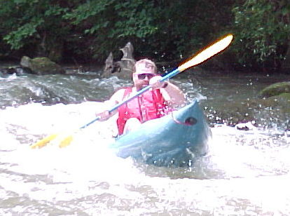
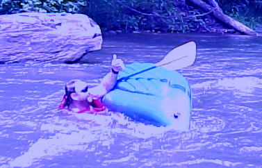
Pat takes his inflatable for a "spin."
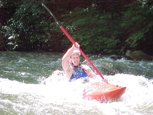
Woodchuck Chuck in the rapid that's visible
from the first bridge.

Dave.
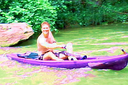
Me & my Kahuna... the perfect boat for
this section.
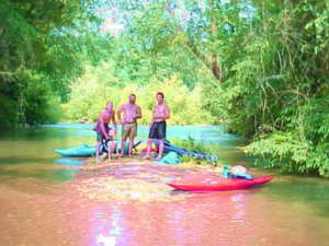
Island hopping on the lower Green.
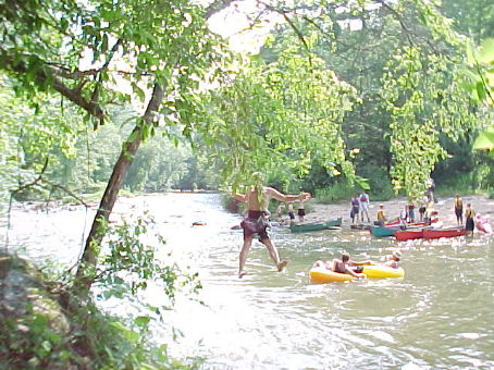
The rope swing just above Green River Cove
Campground.
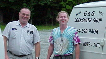
This photo is posted as a public service:
When paddling the lower Green either take
this
locksmith's number with you or hang on to
your keys.
Back
to Tallman's River Pages.


